Protecting Traditional Taro Farms Through Seismic Monitoring
Understanding Ground Movement and Its Impact on Agriculture
Across the globe, many communities rely on traditional taro farming. This crop holds deep cultural and nutritional significance. But as time moves forward, our surroundings continue to shift—sometimes quite literally. Monitoring ground movement can be a helpful way to protect these farms. By learning how the earth behaves, farmers can take steps to reduce damage and preserve their livelihood. You can now stay updated on real-time tremors through tools like earthquake now, which helps alert communities before the shaking reaches them. This kind of awareness is a powerful asset, especially for small-scale farmers who may not have access to expensive monitoring systems.Monitoring Seismic Activity: Why It Matters
Seismic activity refers to movements of the earth caused by natural or man-made forces. This includes earthquakes, tremors, and volcanic rumblings. In areas near fault lines, these movements can be frequent and strong. For communities that depend on taro farms, a sudden tremor can cause soil collapse, water system damage, or ruin crops entirely. …Tracking seismic activity helps researchers and farmers understand when and where the earth might shake next. With this information, they can make better decisions—saving time, effort, and money in the long run.
How Seismic Data Is Collected
Advances in technology have improved how we gather data on earthquakes and tremors. Here are some of the tools currently used:
Seismographs and Seismometers
These devices record ground movement. Some draw wavy lines on paper while others use digital displays. When installed near farms, they provide real-time updates whenever an earthquake occurs. In Japan, a vast network of seismographs gives alerts within seconds. This allows farming communities to respond quickly and protect their land and people.
Internet of Things (IoT) Sensors
These compact devices are easy to install and send data straight to cloud servers. They’re often placed on bridges, buildings, and even farmland. Within seconds of detecting a tremor, they transmit data to central centers. Farmers then receive alerts, giving them time to react before a stronger quake hits.
Monitoring Volcanic Movement
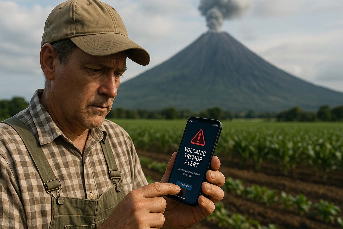
Volcanoes also cause tremors. In areas like New Zealand and parts of Italy, sensors track not just the ground but also smoke and gas levels. When something unusual happens beneath a volcano, alerts go out to nearby farms. This extra layer of protection can help prevent serious damage from eruptions and aftershocks.
Using Seismic Data to Improve Farm Safety
Analyzing collected data helps communities make smarter decisions. Here’s how it benefits farming areas:
Early Warning Systems
Several countries use apps and radio broadcasts to warn citizens when a strong tremor is expected. In California, for example, alerts are sent by text before shaking begins. This brief window allows farm workers to secure equipment, release animals, or move to safer areas—lowering the risk of loss.
Designing Safe Land and Irrigation Layouts
When land is studied thoroughly, certain zones are found to be more at risk. Liquefaction zones—where soil turns to mud during a quake—can destroy crops and foundations. Farmers in Indonesia use this data to avoid planting in those zones or to build small barriers that protect irrigation lines.
Training for Earthquake Readiness
Organizations offer training for farmers. Lessons include raising water canals, securing crop silos, and setting up emergency shelters. In Brazil, local trainers help nearby communities learn how to prepare using only local materials. These workshops build knowledge and foster teamwork.
Proven Success in Other Countries
Several countries have seen real success by adopting these methods:
Japan
With thousands of sensors and instant alerts, Japanese farmers have time to prepare. LED screens in public places also help spread messages. These systems have prevented major crop losses in high-risk zones.
Turkey
In rural Anatolia, small seismic stations have been set up in villages. While less advanced, they give enough warning to start evacuation when needed. In some cases, simple alerts have saved entire taro fields.
New Zealand
This country blends seismographs with satellite data. After a major quake, farmers get timely updates on aftershocks. On nearby islands, this has helped reduce crop loss and downtime after disasters.
Mexico
Communities near the Pacific Ring of Fire face frequent earthquakes. A pilot program teaches farmers how to read seismograph records. They use low-cost devices to track activity, adjust water systems, and secure tanks ahead of time.
Italy
In the Abruzzo region, tiny sensors known as MEMS are used. These quickly detect ground shifts and send alerts to local farmers. As a result, they’ve been able to secure crops and reduce expected losses worth millions.
Common Challenges in Applying These Systems
While useful, there are a few barriers that need to be addressed:
Cost of Equipment
High-end sensors and devices are expensive. For smaller communities, the cost of purchase and maintenance is hard to afford. Internet or satellite fees also add to the burden.
Lack of Training
Many farmers are unfamiliar with the technical side of these tools. Without proper training, the equipment might be used incorrectly or underused. It’s also important to translate instructions into local languages.
Poor Infrastructure
Weak power and internet connections make it hard to use these tools, especially in remote areas. After a major quake, power and communication lines may break, cutting off real-time updates.
Limited Local Funding
Many projects rely on support from governments or private groups. Traditional taro farming might not always be a top funding priority. Some NGOs offer help, but local government support is still essential.
Community Engagement and Cooperation
To succeed, local farmers need to be involved from the beginning:
Building Cooperatives
In Mexico, small farmer groups pool money to buy sensors. Once the funds are collected, members meet to decide how to share tasks—like checking data each day or responding to alerts.
Skill Sharing
Global organizations offer free workshops on using monitoring tools. A typical session lasts two days and includes both theory and hands-on training. Members then support each other by fixing broken sensors and sharing updates.
Reaching Out to Officials and NGOs
Strong farmer cooperatives can ask local leaders to install better sensors in high-risk zones. NGOs can help by providing funding or technical advice. Working together strengthens the entire farming network.
Mobile Alerts and Local Warning Systems
Some cooperatives use simple mobile apps. When a tremor over magnitude 4.0 is detected, a message goes out to all members. This alert includes the quake’s strength, location, and estimated arrival time, even in places with limited infrastructure.
Building for Long-Term Safety
It’s not enough to have tools. Long-term planning matters, too:
Earthquake-Resistant Buildings
Farm offices and seed storage sites must be built to withstand shaking. In Turkey, reinforced concrete and flexible steel are used. Proper drainage also prevents water from softening the soil, which can weaken farm foundations.
Daily Use of Seismic Data
Rather than react only during disasters, farmers can include data checks in their daily routine. A checklist can cover sensor status, alarm tests, and alert responses. This builds discipline and boosts safety.
Local Emergency Committees
Each cooperative should have a group assigned to disaster roles. Members can handle first aid, stop machinery, or move valuables to safe areas. This team also trains new members and audits the system yearly.
Global Cooperation in Seismic Farming Efforts
Though focused on taro farming, these ideas can apply to other types of agriculture. Around the world, farmers are eager to share knowledge through forums and events.
Open Data Sharing
Databases like the USGS and EMSC are freely available. If local sensors are linked to these networks, quake patterns can be tracked earlier. This helps identify connections between tremors across regions.
Collaborative Research
Some universities sponsor projects combining seismic data and farming. Scholarships help students from developing countries study in Japan, then return home to start local seismic centers.
Using Open-Source Technology
To save money, some groups promote building low-cost sensors with free software. This helps even small cooperatives gain access to data and improve safety without spending too much.
Real Stories from the Field
From Bulanık, Turkey
One morning, farmers felt a mild tremor. Their sensor showed a stronger quake approaching. Within minutes, they moved crops into safer storage. When the quake hit, damage was minimal.
From Arequipa, Peru
A mountain-side classroom taught locals how to read seismograph data. During a quake, soil started shifting. Farmers followed their training and moved to higher ground. Their harvest was largely saved.
From Canterbury, New Zealand
Local farmers and government worked together to place remote sensors in mountainous areas. After detecting a quake offshore, they had time to act—protecting crops before the shaking reached their farms.
Monitoring ground movement shouldn’t be limited to large cities or corporations. Small taro farms also deserve safety, knowledge, and the tools to prepare. Through technology, training, and teamwork, farming communities gain the strength to face nature’s shifts. When data is used wisely and communities unite, traditional agriculture can remain strong—no matter how the ground beneath us changes.